Satellite Unveils Hazards in US Winter Rivers
Satellite Unveils Hazards in US Winter Rivers, Satellite Reveals Critical Winter River Hazards Across the US for Enhanced Safety and Preparedness, Revealing Winter River Hazards Across the US: Insights from Satellite Data,
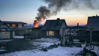
Alaska’s winter brings significant changes to its frozen rivers, with potentially hazardous open water sections now detectable through satellite technology. A pioneering effort by researchers from the University of Alaska Fairbanks has led to the development of a cutting-edge method to identify these perilous zones as the state’s rivers freeze over in early winter.
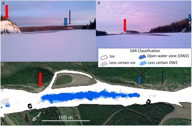
Leveraging synthetic-aperture radar (SAR), this classification system is not limited to Alaska but extends its utility across the broader Arctic region, where similar hazards prevail.
The primary goal is to generate hazard maps essential for the safety of travelers, particularly in rural areas where frozen rivers serve as vital transportation routes for activities like fishing and hunting. Melanie Engram, a remote sensing scientist at the Water and Environmental Research Center, spearheaded this research endeavor.
The focus remains on distinguishing between solid ice and open water holes, a crucial distinction that can prevent accidents and save lives.
Related: Earth Day 2024: Celebrating Sustainability and Environmental Action Worldwide Join TELEGRAM
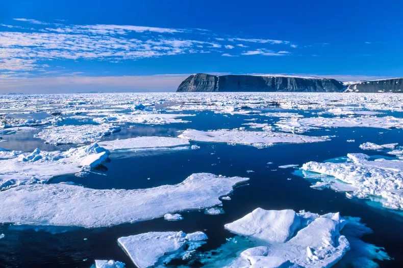
Published in the Remote Sensing of Environment journal, this innovative detection method underscores the severe risks posed by open water zones, exacerbated by the escalating impacts of climate change. Arctic warming has led to delayed freezing, altering the dynamics of rural winter river travel. Consequently, mid-winter open water zones and earlier ice break-ups have become common occurrences, necessitating proactive monitoring and response measures.
Engram and her team meticulously crafted the river ice classification system using data from eight Alaska rivers, encompassing diverse characteristics such as volumes, widths, glacial silt content, and channel types.
The study’s scope extends beyond Alaska, offering a scalable solution adaptable to northern latitude rivers worldwide. By integrating shore-based cameras and community feedback into their methodology, the researchers ensured relevance and applicability to real-world scenarios.
The rivers examined in the study include Colville, Noatak, Tanana, Yukon, Kantishna, Innoko, Copper, and Kuskokwim, each presenting unique challenges and considerations. The accessibility of SAR data, facilitated by initiatives like the Alaska Satellite Facility, democratizes river safety assessments, empowering scientists and communities globally to address this pressing issue collaboratively.